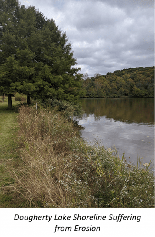
A lake owned by the St. Louis County Parks Department was suffering from shoreline erosion that was threatening the backyards of several residents adjacent to the lake. The residents reached out to the Parks Department, who then hired M3 to develop a solution. M3 found that, since the 1980’s, approximately 25 feet of bank had eroded away along 650 feet of shoreline. It was determined that the primary cause of erosion was wave action under windy conditions. The erosion was further aggravated due to the unstable soil type that was used to construct the lake. M3 proposed using heavy riprap on filter fabric to stabilize the banks. Due to the steep bank condition under the water surface, a special technique was utilized that involved dumping stone to create a “launchpad” for trucks as the construction advanced along the bank. The project included a geomorphic assessment of the bank, a hydrologic analysis, plan preparation and a floodplain study since the lake was located in the 100-year floodplain of Grand Glaize Creek.

