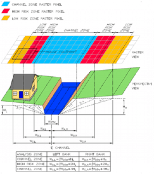
M3 performed a Geomorphic Assessment on 8 miles of Gravois Creek to determine the streambank stability adjacent to a proposed sanitary storage tank and several large diameter sanitary sewers.
he stream was suffering from bank erosion that threatened exposed sewers. The effort began with using M3’s GIS Streambank Assessment tool to forecast the future bank condition. M3 then performed geomorphic assessments in areas of proposed sewer construction and designed bank stabilization at several locations to protect the future sanitary facilities. The techniques included riffle-pool complexes, toe stabilization, bank plantings and stacked stone.

